


More detailed topographic map update – Finland
We now offer more detailed elevation data for Finland in the downloadable map for your compatible Polar watch, available at flow.polar.com/maps.
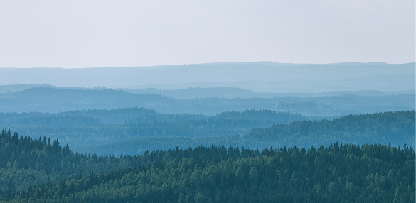
The updated map file (Finland.mbtiles) includes elevation data from National Land Survey of Finland Topographic Database.
In the example below, the new map, with more elevation contours, is shown on the left, and the old map on the right.

Please note that compatible Polar watches require firmware upgrades to show the correct open data attribution information for Finland.mbtiles files dated 21.05.2025 or later:
- © OpenStreetMap licensed under the Open Database License (openstreetmap.org/copyright)
- © OpenMapTiles licensed under the BSD 3-Clause License and Creative Commons Attribution 4.0 license (openmaptiles.org)
- © National Land Survey of Finland Topographic Database 04/2025 is licensed under the Creative Commons Attribution 4.0 license (maanmittauslaitos.fi/en)
Each version of the Finland.mbtiles file includes the correct open data attribution information in its metadata.
Please follow Updates for future firmware upgrades for your specific Polar map compatible sport watch.